
The Eyre Peninsula is a 7-day, 1,200 km loop from Port Augusta by campervan. Any 2WD campervan is fine - it's rated moderate. Best in Autumn (Mar-May) or Spring (Sep-Nov). Budget from about A$1,200 per person, plus roughly A$288 in fuel.
Some coastlines you look at; this one you climb into. The Eyre Peninsula hangs off the bottom of South Australia like a great triangular jaw, its western edge chewed into cliffs and coves by the full force of the Southern Ocean, and for a week in a campervan it is entirely yours. In seven unhurried days you loop out from Port Augusta and down to Port Lincoln, then trace the wild west coast up to the very lip of the Nullarbor - swimming with sea lions, eating oysters lifted straight from the lease, and camping close enough to the surf to fall asleep to it.
They call it the Seafood Frontier, and the name earns itself at every stop. The cold, clean water here grows some of the best oysters, tuna and abalone on earth, and half the joy of the drive is meeting them at the source.
Cage dive with a great white before lunch, swim with wild sea lions after it, and shuck your own oysters from the bay by dinner. That’s a single day on the Eyre Peninsula.
Why drive the Eyre Peninsula?
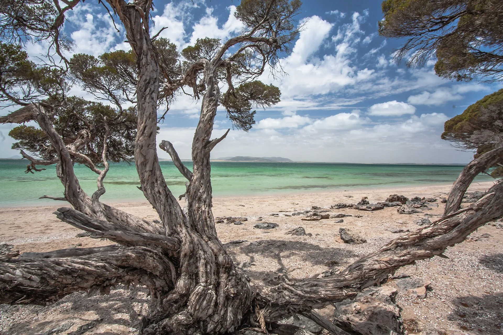
Because nowhere else in the country stacks this much wildlife against this much empty coast. You can share the water with dolphins and sea lions, watch giant cuttlefish mass in the Whyalla shallows, and have a turquoise bay entirely to yourself an hour later. The driving is easy - sealed highways link every town - but the peninsula still feels genuinely off the map, the sort of place where the next headland might not have a single other set of tyre tracks on the sand.
As a loop it keeps the logistics simple: one pickup and one drop-off in Port Augusta, no one-way fees, and a return leg through the wheat-belt at Kimba that feels like different country entirely. Come for the seafood, stay for the sheer, windswept space of it.
Hire your campervan from Port Augusta
From A$1,200 per person for 7 days. Compare the main operators:
Sort the essentials
The van, things to do along the way, and cover for the road - compare and lock each one in.
- 01Campervan
Hire a van from Port Augusta
Book - 02Experiences
Tours & activities in Eyre Peninsula
Book - 03Insurance
Cover for your road trip
Book
Affiliate links - we may earn a commission at no extra cost to you. It never changes the price you pay.
Day by day
1,200 km total · about 15.5 hours behind the wheel across 7 days.
- 1
Port Augusta to Port Lincoln
340 km · 3.5hLeave the head of the Spencer Gulf and run south down the Lincoln Highway, saltbush ranges on one flank and shining water on the other. Break the drive in the steel town of Whyalla - time it between May and August and the shallows fill with thousands of mating giant cuttlefish - then push on through jade-country Cowell to Port Lincoln, the self-styled seafood capital of Australia, as the tuna boats come in.
Highlights Spencer Gulf · Whyalla cuttlefish · Cowell
Stay Port Lincoln Tourist Park · from A$45/nightcheck availability
- 2
Port Lincoln & Coffin Bay
90 km · 1hA day of nerve and indulgence. This is the only place in the country where you can drop into a cage among great white sharks, or - gentler - slip into the water with wild Australian sea lions that loop and somersault around you like puppies. In the afternoon, drive out to Coffin Bay, wade waist-deep to an oyster lease, and eat them shucked straight from the sea before wandering the pale dunes of the national park.
Highlights Great white shark dive · Swim with sea lions · Coffin Bay oysters · Coffin Bay National Park
Stay Port Lincoln Tourist Park · from A$45/nightcheck availability
- 3
Port Lincoln to Elliston
170 km · 2hThe Flinders Highway swings west and clings to the cliffs above the Great Australian Bight. If you have a 4WD and a permit, detour onto private Whalers Way, where the ocean has punched blowholes and sea caves into the raw edge of the continent. Roll into tiny Elliston and clamber down to the Talia Caves, cathedral-sized caverns the sea has hollowed from the limestone.
Highlights Whalers Way · Great Australian Bight cliffs · Talia Caves
Stay Elliston Waterloo Bay Tourist Park · from A$35/nightcheck availability
- 4
Elliston to Streaky Bay
140 km · 1.5hStart with Elliston's Great Ocean Drive, a cliff-top loop past sculpture lookouts and surf beaches. Then head inland to Murphy's Haystacks, a cluster of pink granite tors weathered into giant hay-bale shapes and glowing at low sun. Stop at Point Labatt to peer down at one of the mainland's only permanent Australian sea lion colonies hauled out on the rocks below, then coast into pretty Streaky Bay.
Highlights Great Ocean Drive · Murphy's Haystacks · Point Labatt sea lions
Stay Streaky Bay Foreshore Tourist Park · from A$40/nightcheck availability
- 5
Streaky Bay to Ceduna
120 km · 1.5hOne more chance to get in the water: at sheltered Baird Bay you can swim alongside a resident colony of sea lions and bottlenose dolphins, an encounter people remember for years. Further north, pull off at Perlubie Beach, where the sand is firm enough to camp on with your wheels almost in the surf. Finish in Ceduna, the last real town before the Nullarbor begins.
Highlights Baird Bay sea lions & dolphins · Perlubie Beach · Ceduna
Stay BIG4 Ceduna Tourist Park · from A$40/nightcheck availability
- 6
Ceduna & the edge of the Nullarbor
60 km · 1hSlow the pace and take in the end of the peninsula. Call into the Ceduna Aboriginal Arts and Culture Centre to see work from the far-west communities, then drive out to Denial Bay and its weathered oyster jetty. Roll a little further to the official start of the Nullarbor Plain for the obligatory sign photo, the treeless horizon stretching west forever.
Highlights Ceduna Aboriginal Arts & Culture Centre · Denial Bay oyster jetty · Start of the Nullarbor
Stay BIG4 Ceduna Tourist Park · from A$40/nightcheck availability
- 7
Ceduna back to Port Augusta
470 km · 5hThe long haul home across the wheat country of the upper peninsula. Break it at Kimba, which cheerfully claims to be halfway across Australia - stop for the towering silo art and a grin beside the Big Galah - before the ranges of Port Augusta rise ahead and close the loop.
Highlights Kimba silo art · Big Galah · Halfway-across-Australia marker